


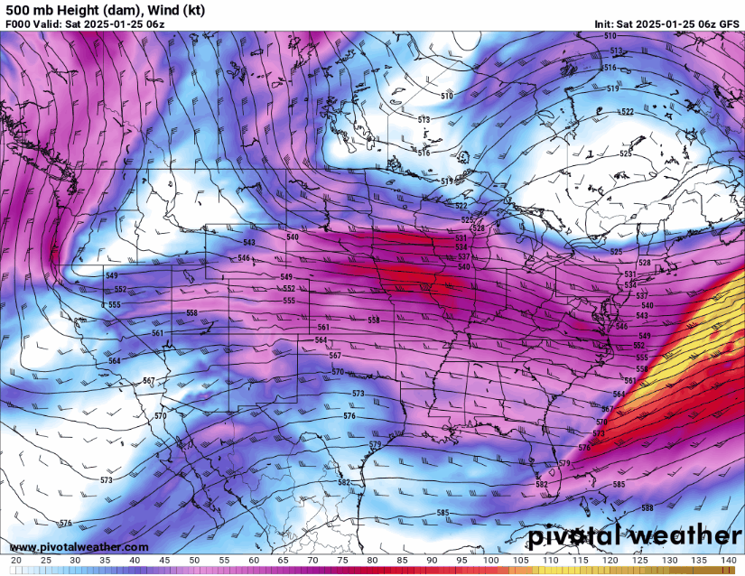
Good Saturday late morning everyone! As the title suggests, I am watching for a potential to see a cut-off low pressure system (storm) to affect us here in WCMO on Friday/Saturday time frame. Our in house model, the European, and the GFS model are all showing a cut off low to form over California and be pushed out by a “kicker” system into the Midwest (video below).
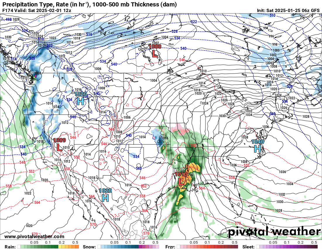
The temperature profile on the surface is still showing it to be too warm here in WCMO to see winter precipitation, but as you can see in the picture below, the snow line is not that far away;
So all this week I will be watching this system and updating you all on the potential impacts. Remember, we are heading into the warmer/stormier part of the LRC cycle. Just a few degrees can turn a few showers into a winter storm. The old saying back a few years ago from Gary Lezak during his forecast was “Cut-off Low, Weatherman’s Woe” due to the fact that we really have no idea where this cut off low will track, as it is cut off from the steering winds (jet stream). Yet another cut off system will be piggy backing this system and will serve as that “kicker system” I was referring. So hang on tight, as the weather is likely to get exciting over the next 2.5 weeks! Subby