


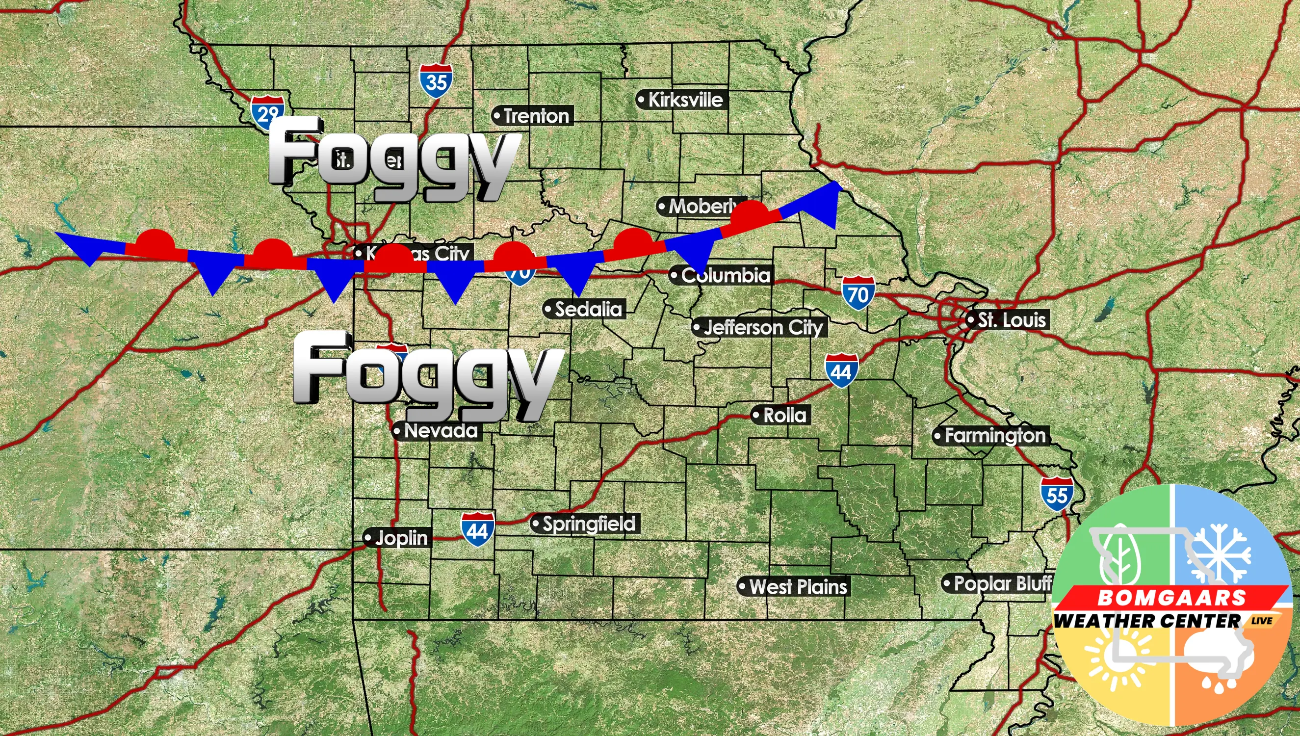
We have had a hard time getting rid of the fog and low, overcast skies the last few days. This is thanks to a nearly stationary frontal boundary that has nearly stalled across the area (picture below);
This stationary front will be pushed out due to a weak low pressure system that will provide a focus for some rainfall here in WCMO Monday and Tuesday. Rainfall accumulations do not look overly impressive, but we could pick up an additional quarter to half inch of rainfall across the area. Behind this low pressure system will be re-inforcing colder air that will drop our temperatures through Thanksgiving, giving us highs in the 40s, but mostly dry. I do believe the travel forecast for Wednesday, Thanksgiving Day and Friday should be just fine. The latest data coming in that I have been scouring over this morning is showing a faster set up for our next big storm system, now coming in Saturday night into Sunday (picture below):
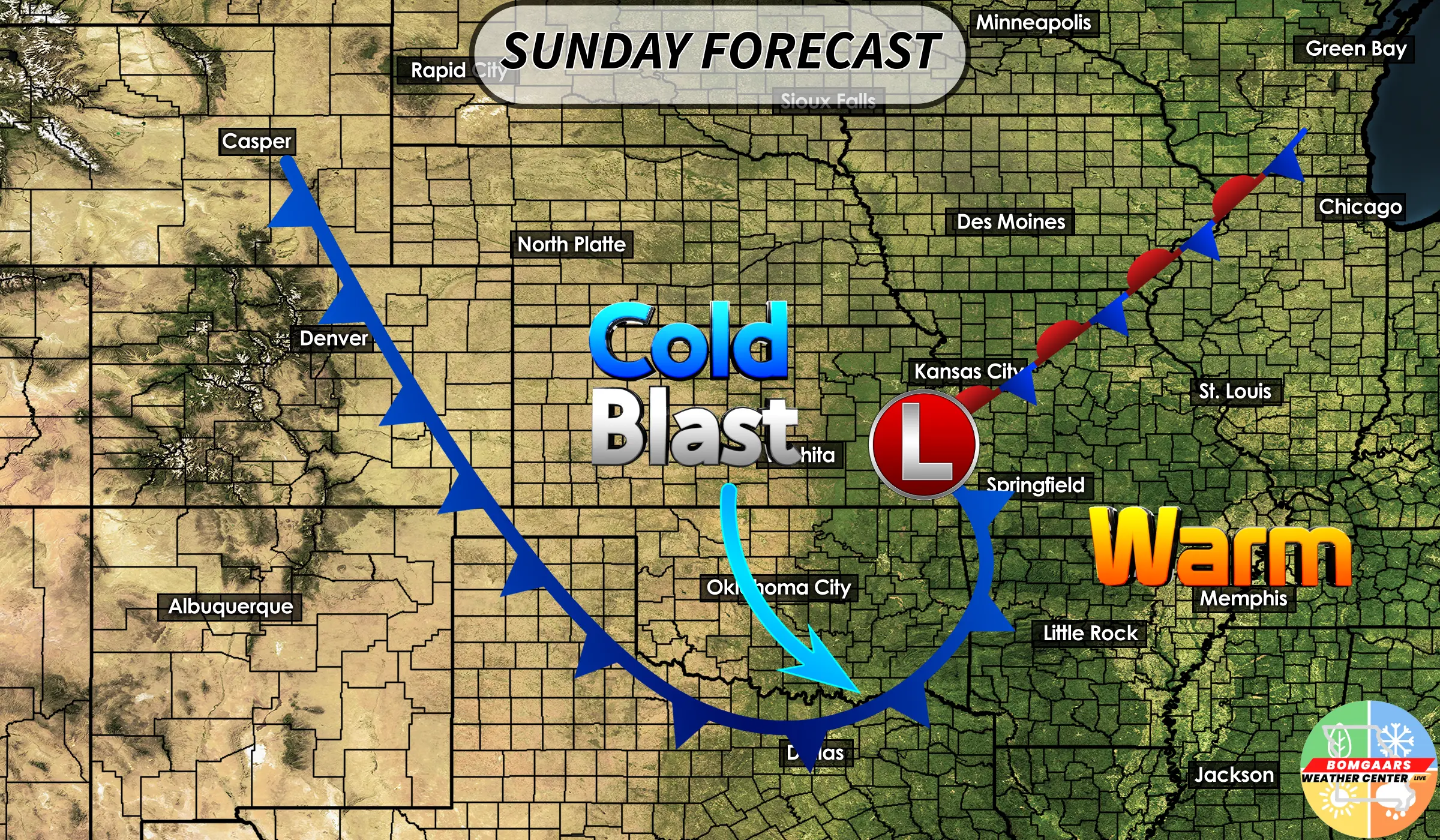
.This will bring in Arctic air to the Midwest as well as more rainfall and perhaps some snowfall. This is the system I am watching very closely as many will be traveling back home after the Holiday weekend. This Arctic air will likely not last too long, as I am seeing a very quick rebound by middle/end of next week. Even though the LRC is still setting up, I feel this could be “end” of the first cycle of the LRC when this Arctic blast retreats. This could very well set our cycle length into the 60s! Meaning 61-62 days between the cycles. This would be, by far, the most “cycling days” that I have witnessed myself since studying the LRC. What does this mean for our winter/spring forecast? Well, I will have our live winter forecast for West Central Missouri around December 7th and I will walk you through the LRC model for 2025/2026 as well showing you what we can expect for winter storms. Have a great rest of your weekend! Subby

