


Not only are we battling heat indexes into the triple digits, but so are our representatives at the Olympics in Paris, France! Temperatures are into the low 90’s in Paris with heat indexes near 100 (picture below). This time of year in the dog days of summer, even though a boundary/front is hundreds miles away, we can still get scattered thunderstorms or rain showers. This is due to the high temperatures and nearly saturated atmosphere. I tracked a super cell that formed in Nebraska all by itself for near 3 hours on Tuesday night, putting on a severe show with hail and even a confirmed tornado! Yet, there was not another storm around it for hundreds of miles and was feeding upon itself to maintain its’ intensity. We will have a brief reprieve from the heat on Thursday night into the beginning of the weekend, before another High pressure system settles back into our region with temperatures near triple digits again to start the work week. Models are hinting at a significant cold front late next week that might give us a break, but could bring in some strong storms as well. As we go into late August into September, we begin to enter into our “2nd storm season” here in West Central Missouri. As the jet stream begins to descend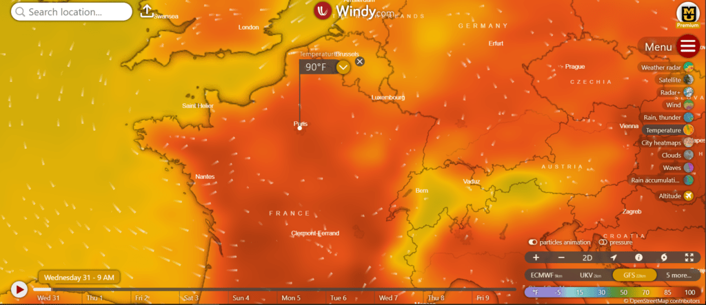 further south for the winter, it will create opportunities for the Midwest to see some moisture and stronger discrete thunderstorms. We will also be watching for any Tropical systems that can, and often do, affect our weather here in WCMO. Late August into September is the peak for Tropical systems. We need a drink of H2O here in our area for our farmers, and hopefully we can get that done here in the next few days. Have a great rest of the day and make sure to share the heck out of our content here at Storm Track Weather Center to help keep everyone keep informed and protected here in West Central Missouri.

